Let’s drive the future.
The Ray started as an innovative 18-mile stretch of highway on Georgia’s I-85 and now partners nationwide to transform mobility into cleaner, safer infrastructure.
We’re on a mission.
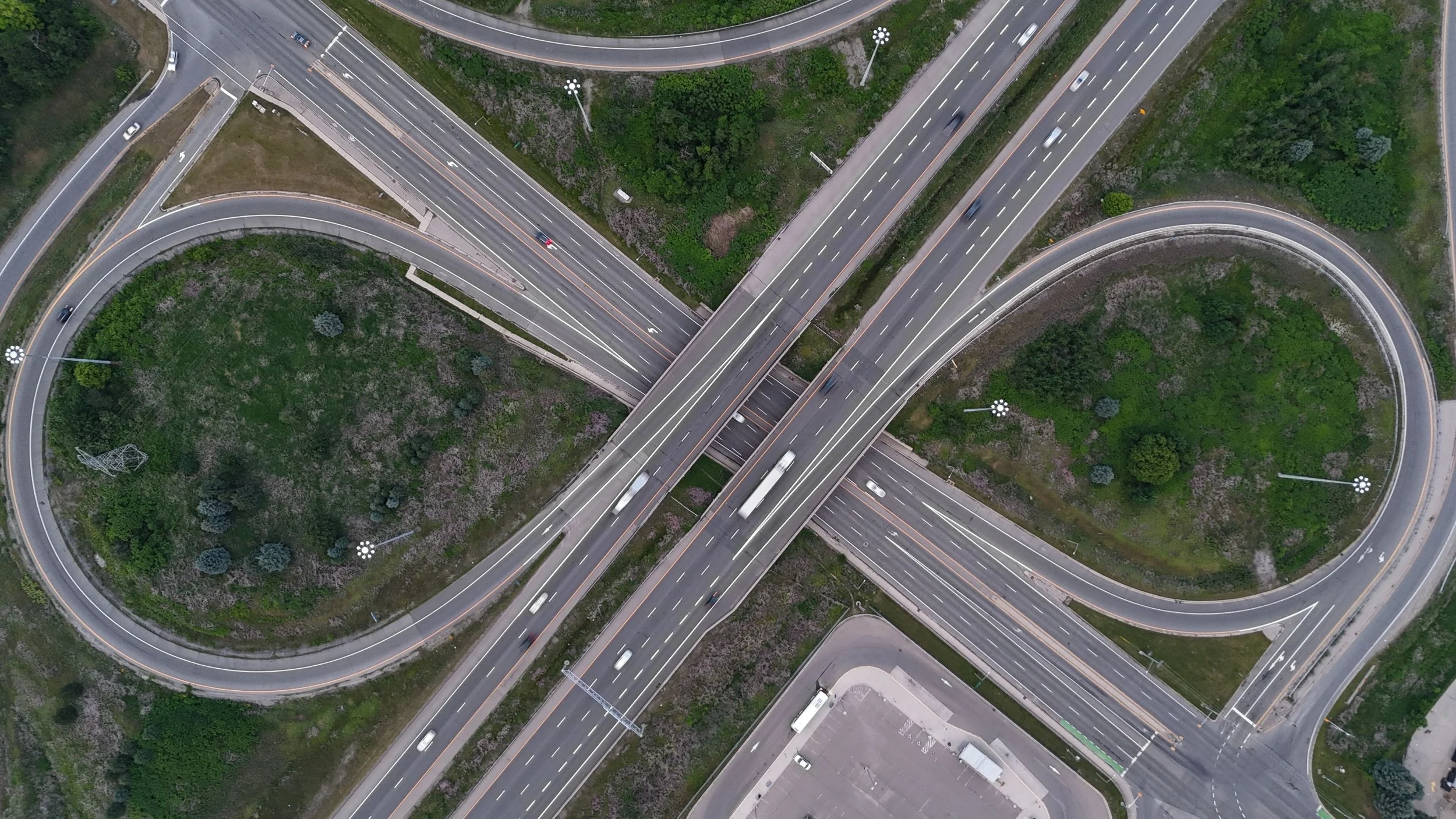
The right-of-way along interstates and highways is an underutilized asset that can be repurposed to improve the natural connections between transportation and energy use. Our team of consultants has the expertise to integrate new technologies with reliable energy infrastructure, enabling transportation departments to leverage this as an innovative source of revenue.
— Allie Kelly, Executive Director of The Ray

What We Do
The Ray Highway is a proving ground for innovation.
Learn how we're scaling advanced transportation infrastructure across the country.
-
Motor vehicle crashes remain a significant public safety challenge; however, there are encouraging signs of progress, thanks to advancements in technology and a focused effort on safety.
-
Advanced infrastructure along transportation corridors offers a powerful solution to pressing energy challenges. By leveraging public land that is already available, we can bypass common hurdles, such as permitting delays and community challenges. This approach provides a shovel-ready national network for essential infrastructure, including high-voltage transmission lines, solar arrays, electric vehicle (EV) charging hubs—reinventing the way we think of big, beautiful roads.
-
We work with federal and state agencies to determine the feasibility of installing energy projects on public land. The Ray offers public agencies advanced geospatial analysis tools to evaluate ROW corridors for transmission and energy distribution projects, visualizing the infrastructure using 3D modeling on the most suitable land.
LEARN MORE -
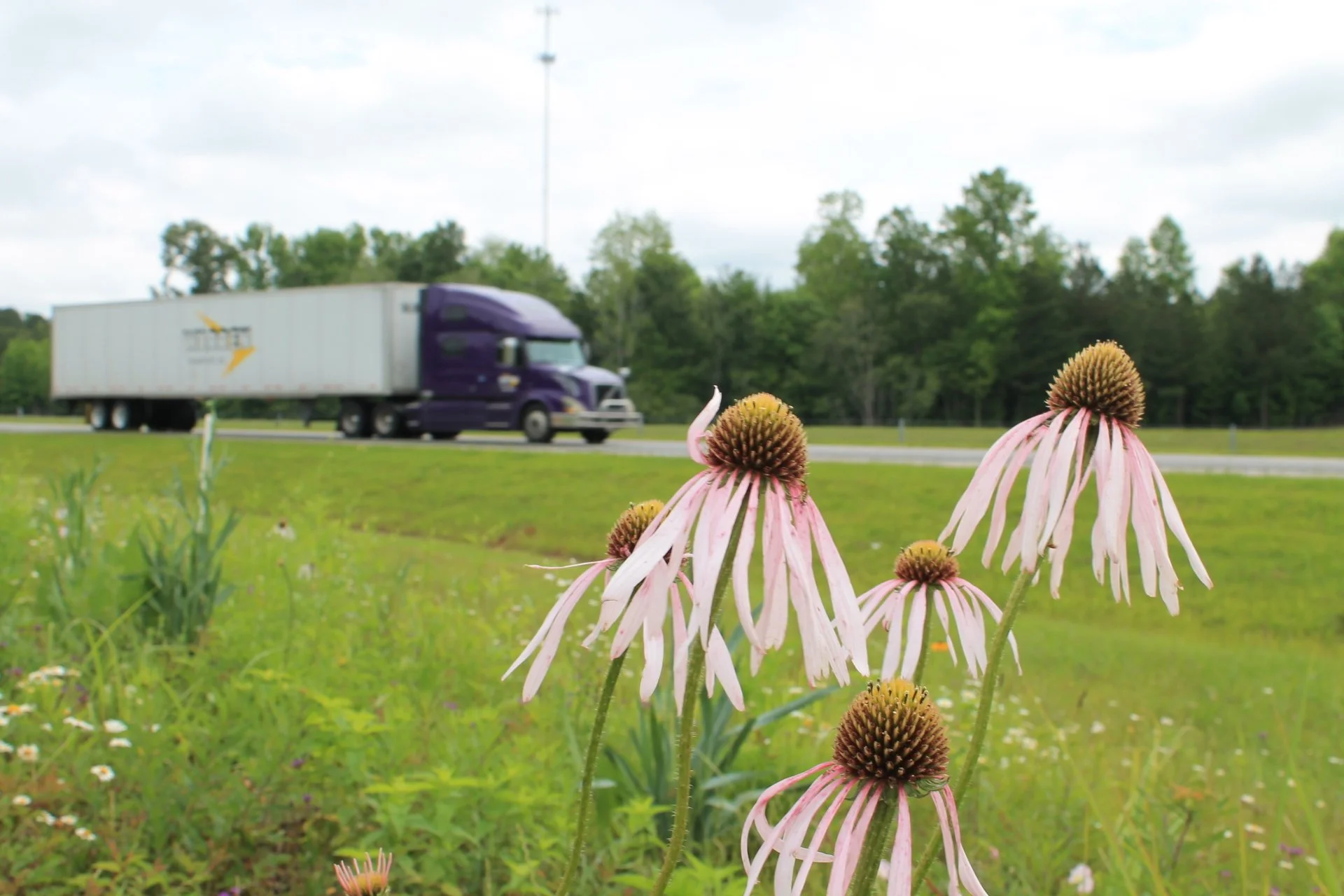
Our Natural Capital Program is transforming corporate and highway landscapes into vibrant sites for resilience. We strategically implement living infrastructure like pollinator meadows, bioswales, and native plantings.
-
Building on Ray C. Anderson's industrial legacy, we believe transportation will thrive by adopting circular, waste-free practices and using existing solutions, like road paving, to improve infrastructure performance.
Get on the map.
Let’s future-proof roads.
Across the nation, The Ray is where bold ideas hit the road.
We help transportation leaders fast-track innovation and give industry partners the launchpad to scale real-world impact. From expert consulting to real-world project implementation, we transform ideas into action.


